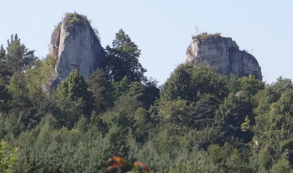
A closed loop of about 10 km in the Wodąca Valley, linking rocks, caves and traces of prehistoric settlement.
The Cavemen's Trail (Szlak Jaskiniowców) is a closed loop of about 10 km in the Wodąca Valley, in the Kraków-Częstochowa Upland. It was created in 2005 by the Wolbrom Cultural Centre and the Marshal's Office in Kraków. The waymarks are green, and part of the route lies in Strzegowa in Olkusz County.
The trail leads past rocks, caves, the only source of water in this area, traces of prehistoric human presence and old fortifications. Along the route are, among others, the Biśnik rock with a cave in which traces of settlement were found, Psia Cave, the Pańskie and Chłopskie defensive fortifications, the Tarnówka spring, the Ścianki rocks with Jasna Cave in Strzegowa, Krzywość and Kyciowa Skała with a stone gate, and the Zegarowe Skały rocks, from which there is a view of the surrounding area.
The loop begins in Smoleń, where the green trail crosses the red Trail of the Eagles' Nests and the blue Jurassic Strongholds Trail. The Wikipedia description warns that the route is sometimes poorly marked and confusing, so a map and the ability to navigate in the field will be useful.
The nearest sight is Bydlin Castle, a few kilometres from the loop.

Be the first! Add a comment.
You need to log in to add a comment.
Log in