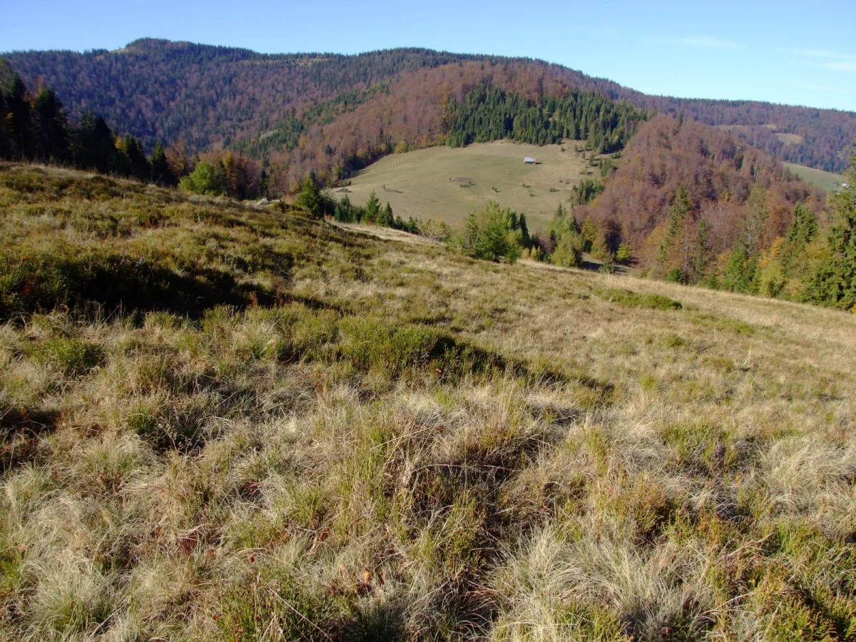
A twin-peaked summit (1,187 m) in the Gorce, in Gorce National Park, between Jaworzyna Kamienicka and Gorc.
Przysłop (1,187 m) is an unremarkable, twin-peaked summit in the Gorce, between Jaworzyna Kamienicka (1,288 m) and Gorc (1,228 m). It lies in Gorce National Park.
The western peak (1,187 m) is the higher, and the eastern is 1,159 m. Both are junction points. From the western one a short ridge descends to the south with the culmination of Borysówka, and from the eastern one a long ridge to the Ochotniczanka valley. The forested northern slopes descend into the valley of the Kamienicki Potok, and among them is a rock outcrop called Czubaty Groń.
The name comes from small passes on both sides of the summit: in the language of the Vlachs, the founders of Ochotnica, the word prisłop meant a pass. On the pass west of the summit lies the Przysłop Górny clearing, on the northern slopes of the eastern peak the Bieniowe clearing, and on the pass on the eastern side the Przysłop Dolny clearing, already outside the park. The boundary of the villages of Zasadne and Ochotnica Górna runs across the summit.

Be the first! Add a comment.
You need to log in to add a comment.
Log in