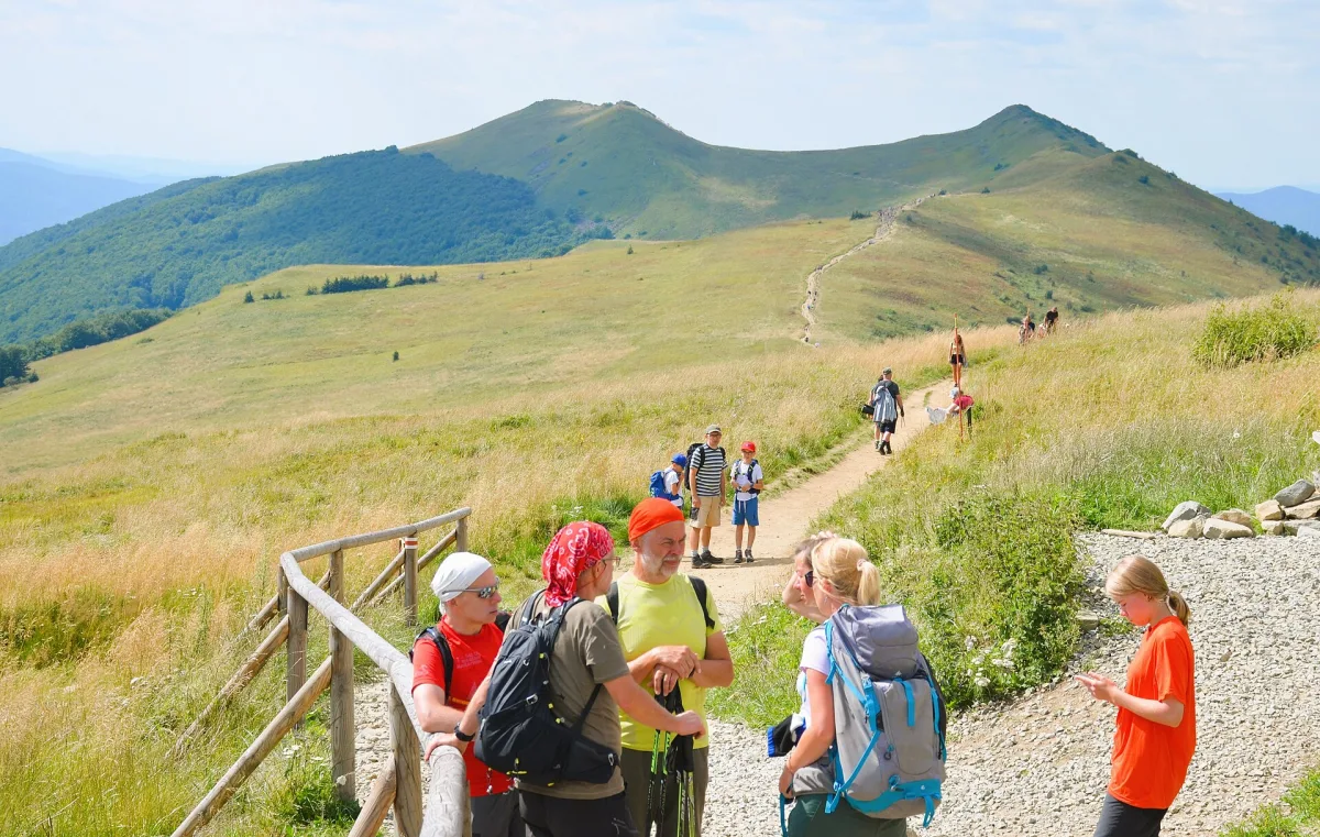
A red PTTK trail of about 496 km from Ustroń to Wołosate, in Lesser Poland through the Żywiec Beskids, the Gorce and the Sącz Beskids.
The Kazimierz Sosnowski Main Beskid Trail (Główny Szlak Beskidzki, GSB) is a red trail about 496 km long, running from Ustroń in the Silesian Beskids to Wołosate in the Bieszczady. It is the longest trail in the Polish mountains and is managed by PTTK (Polish Tourist and Sightseeing Society).
In Lesser Poland the trail leads through the Żywiec Beskids and Makowski Beskids from Węgierska Górka to Rabka-Zdrój, then through the Gorce and the Sącz Beskids. The highest point of the Żywiec-Maków part is Babia Góra (1,725 m above sea level).
In the Gorce the route leads, among others, through Polica and Turbacz, and then through Lubań and Radziejowa.
The eastern stretch in Lesser Poland leads through Przehyba and Jaworzyna Krynicka to Krynica-Zdrój. By the trail also stands the PTTK shepherd's hut above Wierchomla.
The western part was designed by Kazimierz Sosnowski and completed in 1929. The eastern part, to a design by Mieczysław Orłowicz, was completed in 1935. After the two were joined, the trail was named the Main Carpathian Trail.

Be the first! Add a comment.
You need to log in to add a comment.
Log in