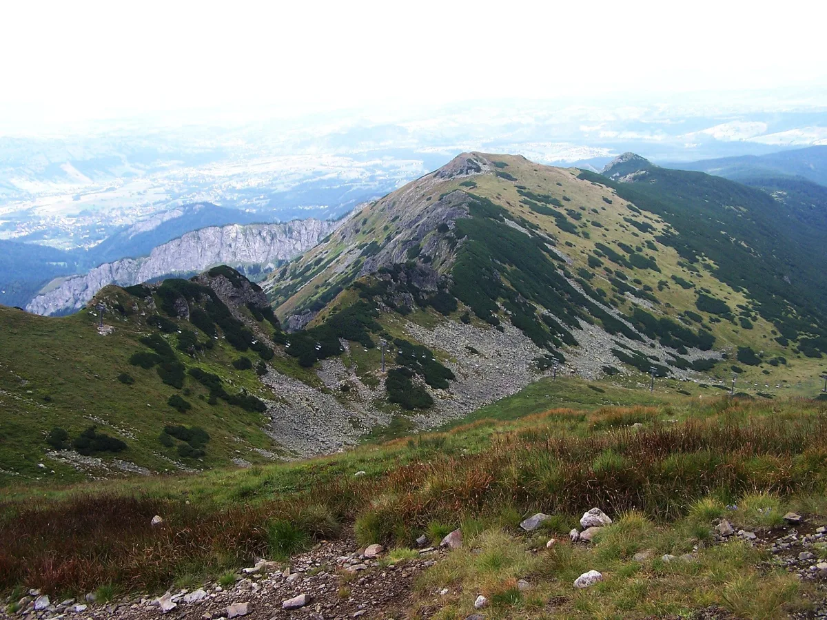
A grassy side valley of Zielona Gąsienicowa Valley at 1700-1850 m above sea level below Kasprowy Wierch.
Sucha Stawiańska Valley is an elongated, grassy and sandy small valley in the Western Tatras, a branch of Zielona Gąsienicowa Valley. It lies on a level of 1700-1850 m above sea level, and its highest point is Kocioł Kasprowy.
It is surrounded on three sides by Uhrocie Kasprowe, the slopes of Kasprowy Wierch, Sucha Przełęcz and the north-eastern bulge of Beskid. Formerly it belonged to Hala Gąsienicowa and was grazed. Since grazing ended it has gradually been overgrown with mountain pine.
A yellow hiking trail leads from the Murowaniec mountain hut through Gąsienicowa Valley to Sucha Przełęcz. From Kasprowy Wierch to Kuźnice runs a blue ski trail, Nartostrada Gąsienicowa, and in winter skiers are served by the Gąsienicowa chairlift.
According to Władysław Cywiński, the name of the valley is known to almost no one, although it appears on many maps.

Be the first! Add a comment.
You need to log in to add a comment.
Log in